Prairie Oaks Metro Park
Essential Information
- Mileage: 10 miles
- Activities:
- Trail Running
- Location: W Franklin County
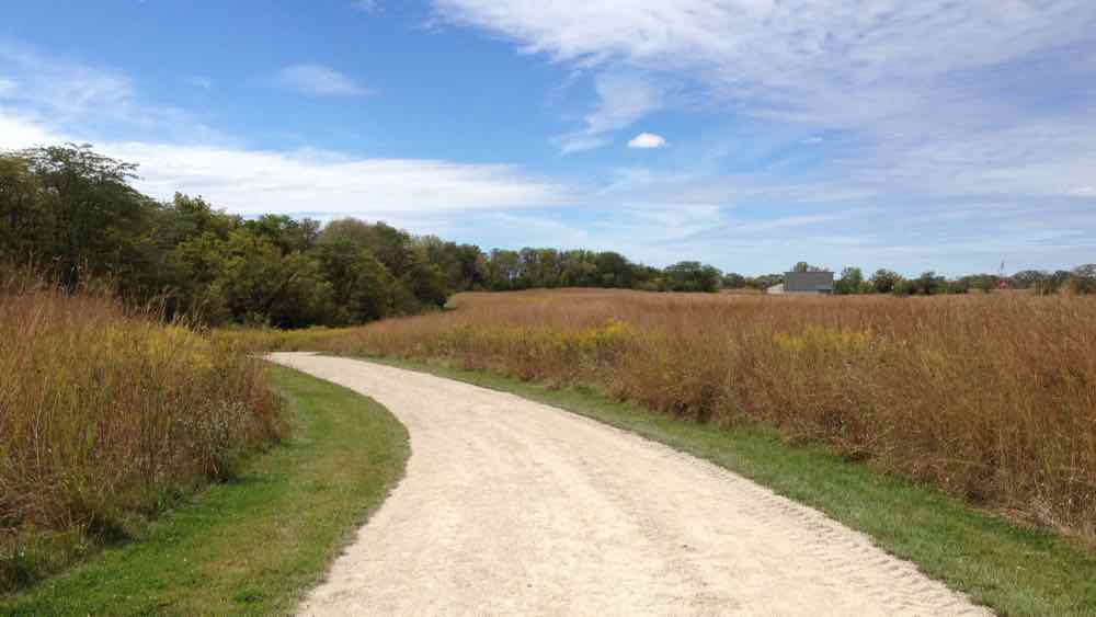
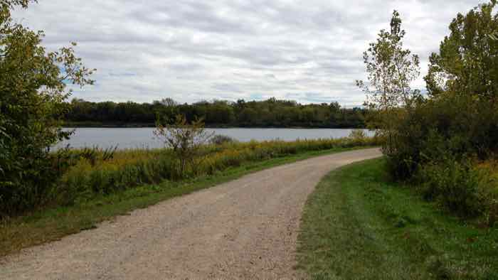
The 3.5 mile Darby Creek Greenway Trail runs the length of the park north to south, and it is used to access all of the other trails in the park. It has hard-packed dirt and gravel surface, somewhere between a trail and a dirt road. In general the gravel is very small, and it is a pleasant surface to run on. What the trail lacks in ruggedness it makes up for in scenery. The majority of the trail goes through prairie fields, which are unique for the area and are often quite beautiful. In addition to the prairie sections, the northern portion of the trail winds its way around several small lakes.
In the northern section of the park, both the Lakeview Trail and the River Rock Trail branch out from and reconnect with the Darby Creek Greenway Trail. The Lakeview Trail is much like the Greenway Trail with similar views and surface. The River Rock Trail is a short wooded trail made of grass and dirt that runs along side one of the lakes.
Near the intersection of the Greenway Trail and the Big Darby Creek is the entrance for the Alder Trail, which connects to the Sycamore Plains Trails, which then loops around and returns. The Alder Trail is a mostly wooded dirt surface trail that runs alongside the Big Darby Creek. It joins up with the Sycamore Plains Trail, which is approximately one half dirt trail in the woods and one half grass trail going through a field. The grass section is probably the least interesting section of trail in the park, but it is relatively short and can be bypassed if so desired.
The Coneflower Trail can be accessed from three different points along the Greenway Trail. It is mostly flat and grassy, and it travels through fields and a few wooded sections. It can feel a bit like a maze at times because the park’s bridle trail is constantly crossing and occasionally sharing the trail. However, as long as you pay attention to the trail markings (follow the ones with the hiker symbol and avoid the ones with a horse), then it is actually quite easy to find your way. Because the trail is flat and in a low lying areas, it doesn’t drain very well and should be avoided when wet.
Additional Information
- View the Prairie Oaks trail map on the Metro Park’s website.
- View the park’s location on Google Maps.